The Auckland issue
Fifty-Three Sleeping Giants: Life Inside Auckland's Volcanic Field
Auckland is the only major city in the world built inside a live volcanic field — here is how to read its fifty-three cones, craters and islands like a local, one maunga at a time.
By Tomás FerreiraAuckland by cone, coast and neighbourhood
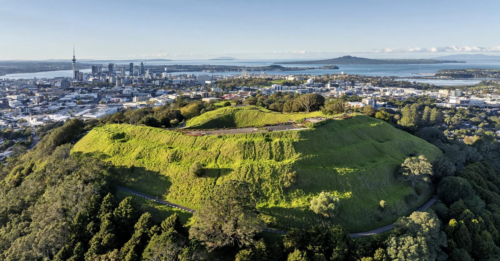
Most cities are built beside a river or below a mountain. Auckland is built inside a volcano — or rather inside fifty-three of them, a field of cones, craters, lava caves and drowned explosion pits that the city has quietly grown around, terraced, quarried, farmed and named over some seven hundred years. The field is young and, in geological terms, merely resting: the next eruption will not come from an existing cone but from new ground nobody can yet point to. Learning to see Auckland this way — as a landscape of sleeping giants rather than a grid of suburbs — changes the shape of a visit entirely.
What follows is not a checklist to be completed in a day. It is a way of reading the field in the order that makes sense, starting underground at its centre and working outward to the harbour cones and the islands. Every one of these places is a maunga — a mountain of deep significance to Ngāti Whātua, Waikato-Tainui and the wider mana whenua of Tāmaki Makaurau — and the summits are sacred. The reward for treating them as such is a city that suddenly makes sense: the harbour, the volcanoes and the people who have lived among them are one continuous story.
Start underground: orientation in the crater
Begin where the field is least obvious. Pukekawa / Auckland Domain, the green bowl of parkland just east of the city centre, is itself a volcano — the whole Domain sits inside the Pukekawa crater, its formal gardens and sports fields laid over an ancient vent. Crowning the rim is the Auckland War Memorial Museum, which keeps a dedicated volcanoes gallery, including a room that simulates a harbour eruption watched from a suburban living room. It is a genuinely useful piece of theatre: after ten minutes of it, the cones you climb later stop being scenic lumps and start reading as what they are. The park is free and open; the museum charges around NZ$32 for international adults and is free to Auckland residents, and it welcomes tour groups. Give it the first half of a morning and treat everything else as fieldwork.
Plan your Auckland trip
Live prices from our booking partners.
Free cancellation on many rooms. We may earn a commission when you book.
The central cones: the classic climbs
From the Domain, the great isthmus cones are all within a short drive or bus ride, and they are the heart of any first visit.
Maungawhau / Mount Eden, three kilometres south of the centre, is where most people begin and rightly so. Its scoria crater is close to perfectly intact — a deep green bowl fifty metres down — and the 360-degree panorama takes in both harbours, the city towers and, on a clear day, the low grey mass of Rangitoto out at sea. The summit road has been closed to private vehicles since 2016, so everyone now walks the last fifteen to twenty minutes; the gates open around 7am and close at 8.30pm in summer, 7pm in winter, and entry is free. Groups are fine here, but this is the field's busiest maunga and its most sacred: the crater floor is tapu, and the low fences and signs asking you to keep off it are not suggestions. Stay on the rim paths and the mountain gives you everything anyway.
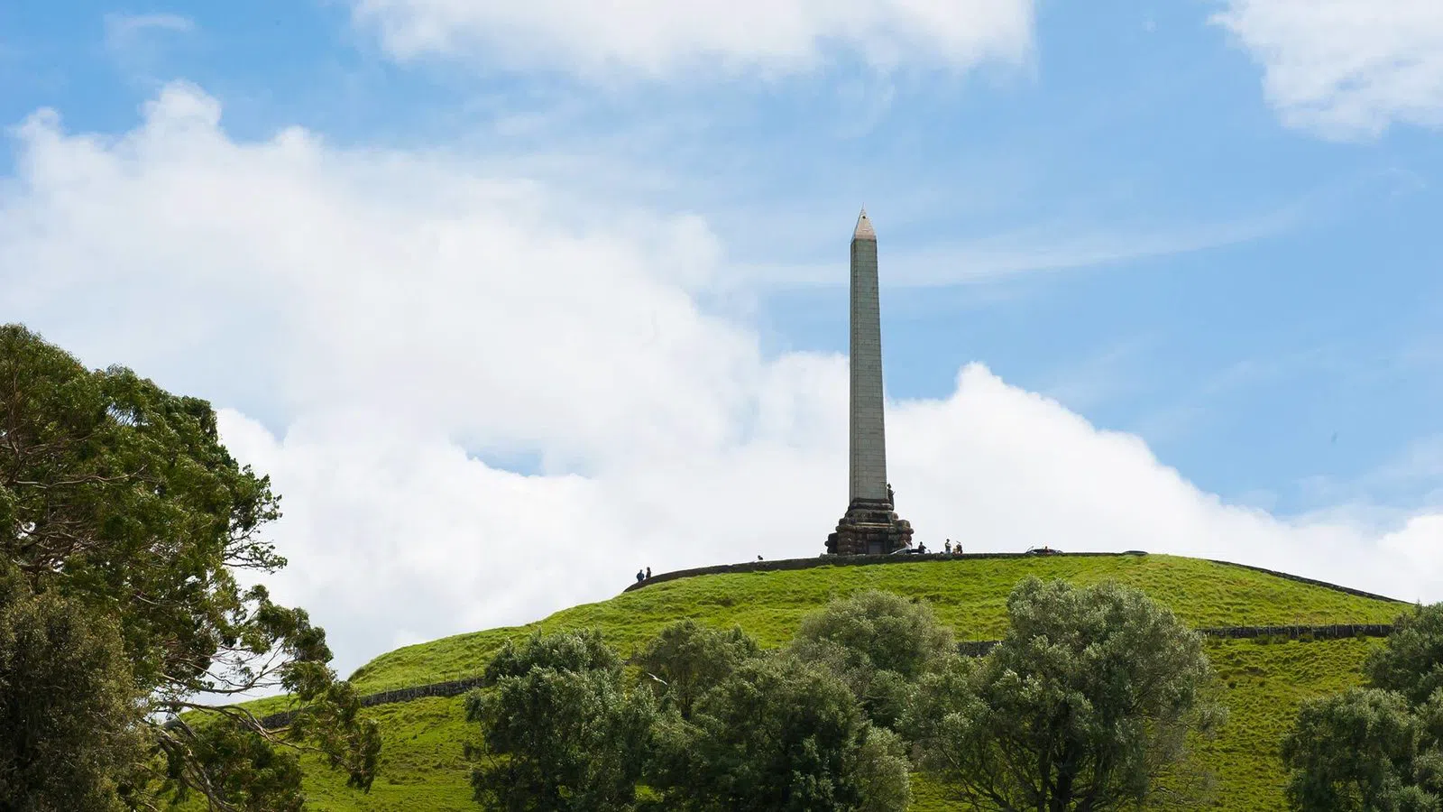
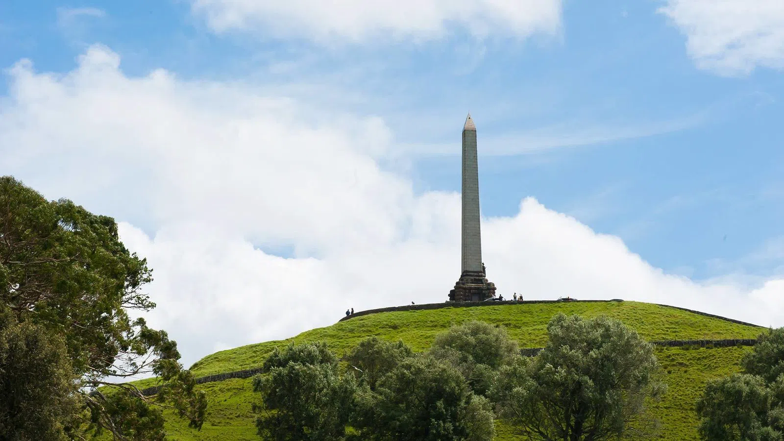
A few minutes further south, Maungakiekie / One Tree Hill rises out of Cornwall Park, and it may be the more rewarding half-day of the two because the volcano comes wrapped in a working farm park with grazing sheep, mature gardens and a good cafe. The summit car park is closed, so it is roughly a twenty-minute walk from the base — and as of May 2026 there is a new direct summit-track connection from Cornwall Park itself, built with boardwalks and stairs, which makes the climb cleaner and less of a road-walk than it used to be. The obelisk at the top and the sweeping pā terraces on the flanks tell you this was one of the largest fortified settlements in pre-European Aotearoa. Pair the climb with the park below and you have a full, unhurried morning; it suits families, couples and groups equally.
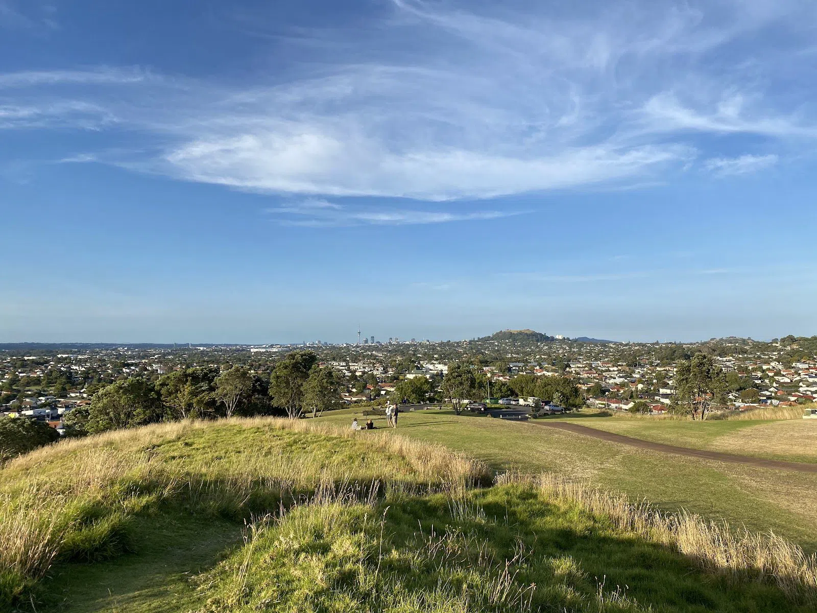
For a sense of the whole pattern, climb Pukewīwī / Puketāpapa / Mount Roskill, a modest cone a little to the west. It is short, uncrowded and quick, parking is limited, and the point of it is the view rather than the walk: from the top the other cones stand up across the isthmus like markers on a map, and you can finally see the field as a field. It is the best photo stop between the bigger names and asks very little of you.
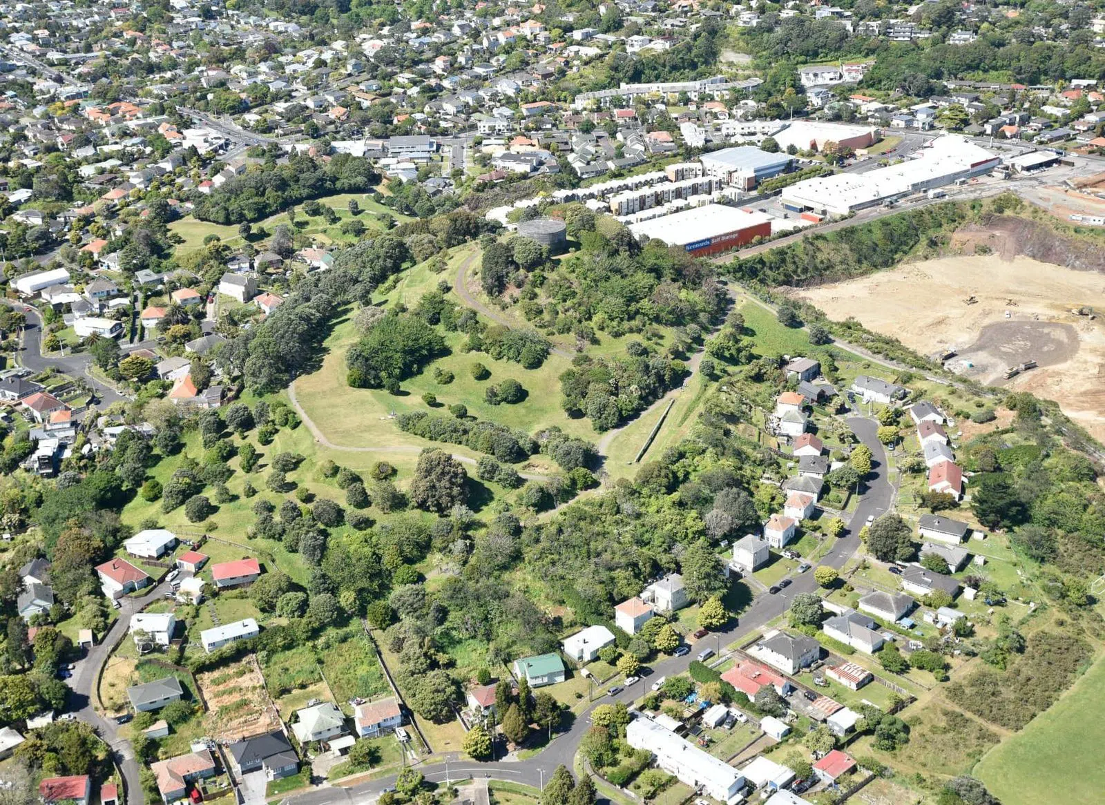
Close by, Te Tātua-a-Riukiuta / Big King is the quietest and, in its way, the most affecting. It is the last substantial remnant of Three Kings, a group of cones almost entirely carried away by a century of quarrying — the reserve is now a popular off-leash dog park with an easy, family-friendly walk, gates open 7am to 8.30pm in summer and 7pm in winter, and it was returned to mana whenua in 2014. Standing on what is left, with the hollow of the quarry beside you, is the clearest lesson in the field about what the growing city cost the volcanoes that made its soil so rich.
Across the water: Devonport's twin cones
The short ferry to Devonport, on the North Shore, buys you two cones, a village and one of the better half-days in Auckland — and it is the part of the field that works best for casual groups and families.
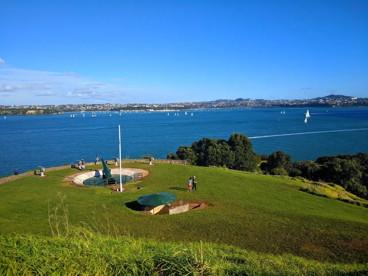
Maungauika / North Head sits at the harbour mouth and is really two attractions in one: a volcano and a warren of coastal-defence tunnels bored through it during successive war scares. It is a free, open reserve, and it is the most group- and child-friendly cone precisely because there is so much to explore — gun emplacements, disappearing guns, and dim tunnels you should bring a torch for. Some sections of the Northern and Southern Battery are periodically fenced off for maintenance, but the maunga itself stays open. Children treat it as a fort; adults get the view back across the water to the city.
A short walk away, Takarunga / Mount Victoria is the highest cone on the North Shore and the easiest big view in the whole city — a gentle climb of a few minutes from the Devonport ferry, free and open. Its quirky orange rooftop signal station makes it instantly recognisable, and it pairs so naturally with North Head next door that most people do both in an afternoon and finish with a coffee in the village.
Not far up the coast at Takapuna lies the field's odd one out. Pupukemoana / Lake Pupuke is not a cone at all but a maar — an explosion crater that filled with fresh water — and the only intact one left in the region. A flat shoreline path of about 6.5 kilometres rings it, and you can walk, swim, kayak or sail (equipment hire aside, access is free). After a day of scoria cones it is a deliberate change of register: proof that the field's eruptions were sometimes wetter and far more violent, blasting a hole in the ground rather than building a hill above it.
The islands: the field at its wildest
Two of Auckland's volcanoes stand offshore, and they are the ones that reward a little more effort.
Rangitoto Island is the field's youngest volcano — it rose out of the sea only about six hundred years ago, within Māori memory — and it is the only cone that is a true wilderness day-trip. A daily Fullers360 ferry runs the twenty-five minutes from Pier 1 downtown; the return fare is around NZ$55 for an adult, and island entry is free. Groups are welcome but should book the ferry ahead, and everyone needs to understand that there are no shops and no drinking water on the island — you carry in what you need. The summit track is 2.3 kilometres and moderate, over sharp, ankle-turning lava, so proper shoes are not optional. What you get in return is a symmetrical young volcano rising straight from the Hauraki Gulf and a view back over every other cone in the field.
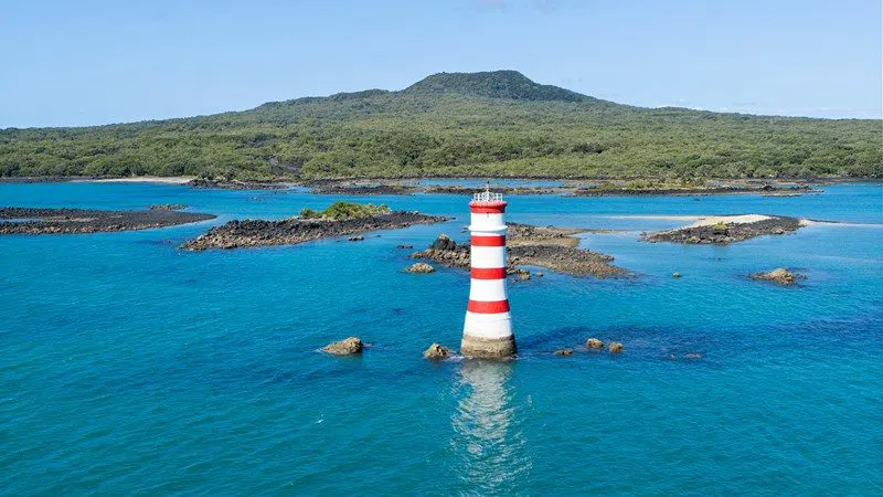
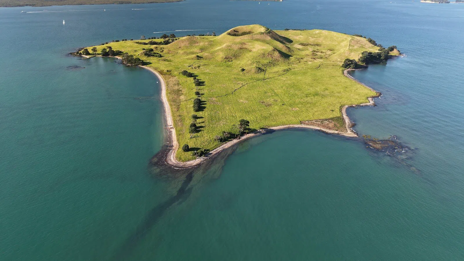
Harder still to reach, and better preserved because of it, is Motukorea / Browns Island, a small, near-perfect volcano off the eastern bays. There is no ferry: you arrive by private boat or, more practically, on a guided sea-kayak tour that takes groups out from St Heliers on a paddle of about four kilometres, typically NZ$150–200 per person. The island itself is a free regional park. This is one for confident, adventurous groups who would rather have a whole cone to themselves than share a summit — and on Motukorea you very often will.
The southern field and its deeper story
The cones of the southern isthmus are quieter and, for the field's Māori history, essential.
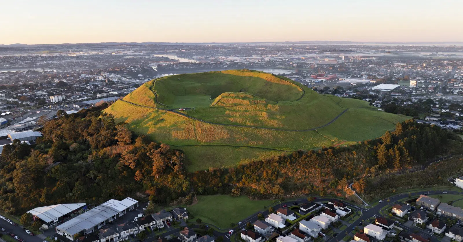
Māngere Mountain, south of the airport, is the place to understand the field as mana whenua understand it. Its Education Centre runs guided cultural walks and hands-on workshops for booked school and tour groups, and the mountain itself carries some of the finest surviving pā terraces and a rare tholoid lava dome in the crater. The car park off Domain Road is free and the climb costs nothing; the guided programmes are charged per group. If you have time for only one interpreted stop, make it this one — the geology and the human story arrive together here in a way they do nowhere else in the field.
Nearby, Maungarei / Mount Wellington is the largest and youngest scoria cone on the mainland, a free, open reserve climbed by a stair-and-path route. It is far quieter than Mount Eden for an equally broad view, which makes it a favourite featured stop on guided volcano tours and a good choice for groups who want the panorama without the crowds.
Seeing the field with a guide
All of the above can be done independently, and much of the pleasure is in doing so at your own pace. But the field is layered with names, battles, gardens and burial grounds that no summit sign fully explains, and if you want it interpreted through mana-whenua history rather than guessed at, a guide is worth the outlay. TIME Unlimited Tours is built around small private groups — larger groups on request — and runs multi-award-winning Māori cultural and volcano tours, typically from around NZ$200 per person for a private or half-day trip. It is the reliable, context-rich way for international visitors to see the cones as a connected story rather than a set of viewpoints, and the premium buys you the interpretation that turns a good day out into a genuine understanding of the place.

Practical notes
Getting around. The central cones — Mount Eden, One Tree Hill, Mount Roskill, Big King — cluster within a few kilometres of the city and are reachable by bus or a short drive; note that the summit roads on Mount Eden and One Tree Hill are closed to cars, so budget fifteen to twenty minutes on foot for each. Devonport (North Head, Mount Victoria) and Rangitoto are ferry trips from the downtown piers; Lake Pupuke is a short hop beyond Devonport. The southern cones and Motukorea are best reached by car or, in the island's case, by a booked kayak tour.
Cash and booking. Most maunga are free public reserves and need nothing but decent shoes. Budget for the paid extras: roughly NZ$55 return for the Rangitoto ferry, about NZ$32 for the museum if you are an international visitor, NZ$150–200 per person for a guided kayak to Browns Island, and NZ$200-plus per person for a private cultural tour. Book the Rangitoto ferry, any kayak trip and Māngere's guided programmes ahead, especially for groups.
Timing. Reserve gates on several cones run roughly 7am to 8.30pm in summer and 7am to 7pm in winter, so early starts and long evenings are both possible. Give the museum a morning, allow a full half-day each for Rangitoto and Devonport, and don't try to stack more than three cones into a single day — the field rewards a slower reading. A clear, low-wind day makes every summit better and the ferries calmer.
One rule above all. These are sacred mountains, not viewpoints. Keep off fenced crater floors and terraces, take your rubbish with you, and tread as a guest. For where to base yourself between climbs, start with an Auckland hotel search, and for the rest of the city beyond its volcanoes see the full Auckland guide.
Before you go
How many volcanoes are there in Auckland and are they still active?
The Auckland volcanic field has 53 volcanoes — cones, craters, lava caves and explosion lakes — spread beneath the modern city. The field is dormant but not extinct: rather than any existing cone re-erupting, a future eruption would break out from new ground, which is why it is still classed as active.
Which Auckland volcano should I climb if I only have time for one?
Maungawhau / Mount Eden is the classic first choice — three kilometres from the city centre, with an intact scoria crater and a full 360-degree view of both harbours. It's a 15–20 minute walk from the base since the summit road closed to cars in 2016, entry is free, and the crater floor is tapu, so stay on the rim paths.
How do I get to Rangitoto Island and what should I bring?
Take the daily Fullers360 ferry from Pier 1 downtown — about 25 minutes, roughly NZ$55 return, with free island entry. There are no shops or drinking water on the island, so carry your own supplies, and wear sturdy shoes for the moderate 2.3km summit track over sharp lava. Groups should book the ferry ahead.
Are Auckland's volcanoes suitable for families and groups?
Yes. Maungauika / North Head in Devonport is the most family- and group-friendly thanks to its explorable coastal-defence tunnels — bring a torch. Takarunga / Mount Victoria nearby is an easy short climb, and Big King and Māngere Mountain both offer gentle walks. For a whole cone to yourselves, adventurous groups can kayak to Motukorea / Browns Island.
Can I visit Auckland's volcanoes with a Māori cultural guide?
Yes. TIME Unlimited Tours runs small-group, multi-award-winning Māori cultural and volcano tours, typically from around NZ$200 per person for a private or half-day trip. For a hands-on cultural experience you can also book a guided walk or workshop at Māngere Mountain's Education Centre, where the geology and Māori history are told together.