The Auckland issue
Fifty-Three Volcanoes, One City: Walking Auckland's Green Summits
A walker's honest reading of Auckland's volcanic field — which grassy summits reward the climb, which suit a coach party and which a quiet pair, and how to move between them without a car.

By Tomás FerreiraAuckland by cone, coast and neighbourhood
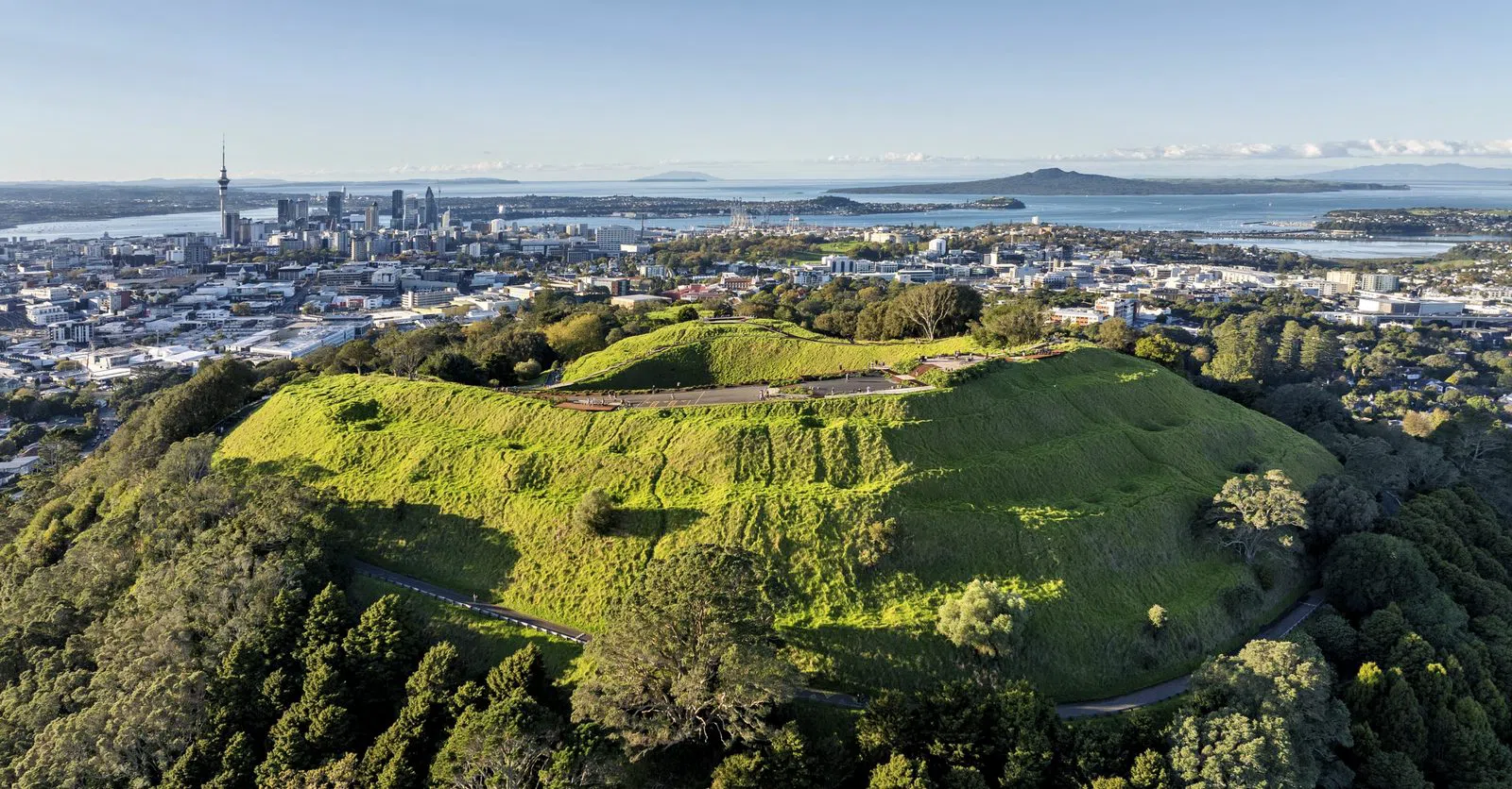
Auckland is the only major city in the world built on a live volcanic field, and its roughly fifty eruption points are not a museum exhibit but the shape of daily life — the hill you climb for a view before work, the park where a rugby team trains inside a crater, the island on the horizon that is younger than most European cathedrals. The cones are not distant peaks to be conquered; they sit inside the suburbs, wrapped in grass and pōhutukawa, most of them free to walk and open to the sky. What follows is a reading of that field for a traveller planning a few days of walking: which summits earn the effort, where a large group is welcome and where two people will do better, and how the whole thing fits together on foot and by ferry.
Before listing summits, one honest caveat. These are not simply lookouts. Almost every cone is a maunga — an ancestral mountain carrying centuries of Māori history, terracing, storage pits and, in places, burials. Several craters are tapu, meaning sacred and off-limits. Treating them as ordinary parkland is the commonest mistake visitors make, and the easiest to avoid: stay on the marked paths, keep out of the crater bowls where signage asks you to, and the field opens up generously in return.
Read the field before you climb it
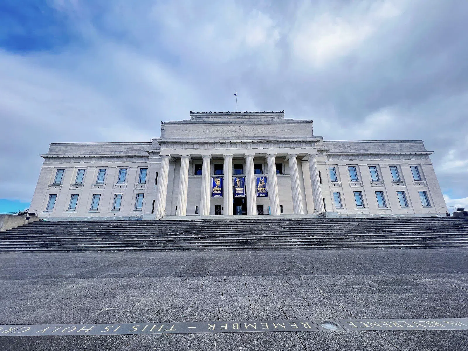
The most useful first move is not a climb at all. Pukekawa / Auckland Domain (Grafton), the city's oldest park, is itself a volcano — a maar, an explosion crater gouged out by steam rather than built up by lava, which is why it reads as a broad green bowl rather than a cone. On its rim sits the Auckland War Memorial Museum, and this is where the field starts to make sense. The museum's 'City of Volcanoes' gallery lays out how the whole field was born and, crucially, why the cones look so different from one another; its Māori and Pacific collections are among the finest anywhere and give the maunga you are about to walk their proper context. The park is free and handles tour groups all day; the glasshouse Wintergardens are a quiet reward on a wet morning. Museum entry is around NZD $35 for international adults, while New Zealand residents enter by donation. An hour here saves a great deal of confusion later.
Plan your Auckland trip
Live prices from our booking partners.
Free cancellation on many rooms. We may earn a commission when you book.
The central cones: the classics within reach
The cluster of cones inside the central isthmus are the ones most visitors climb, and for good reason — they are close together, reachable by public transport, and each offers a different view of the same city.
Maungawhau / Mount Eden (Mount Eden) is the obvious anchor: at 196 metres it is Auckland's highest natural point and its most-visited cone, with a near-perfect crater and a genuinely commanding panorama. Two things matter for planning. First, private vehicles have been banned from the summit since 2016, so this is a foot-access climb; a paid council shuttle runs for those who cannot manage the walk. Second, the crater is deeply tapu. Keep your group on the marked rim path and out of the bowl entirely — this is not a suggestion but the reason access here has been preserved. It is free, and it welcomes walking groups, but a large party needs to stay disciplined on a busy summit.
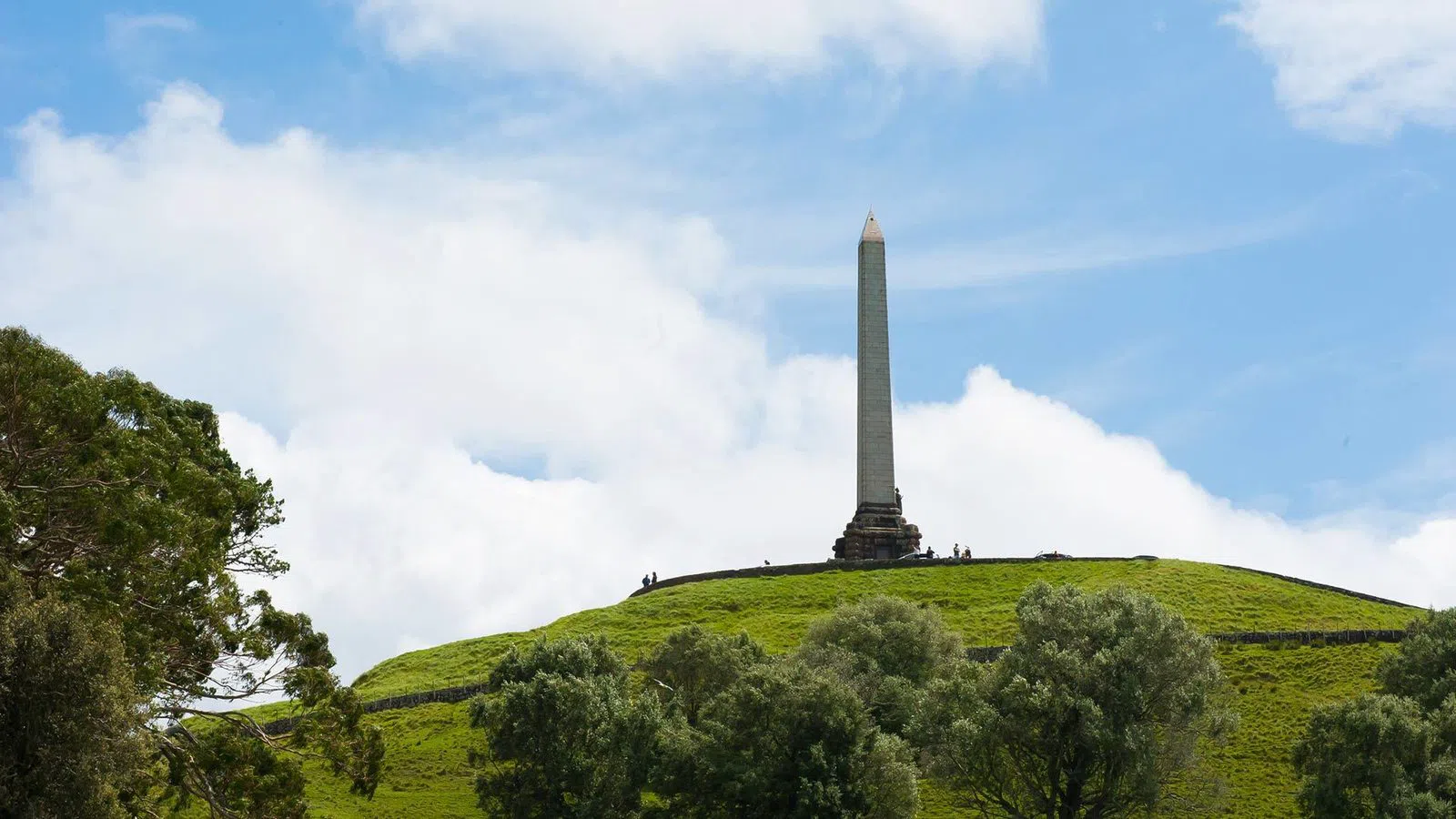
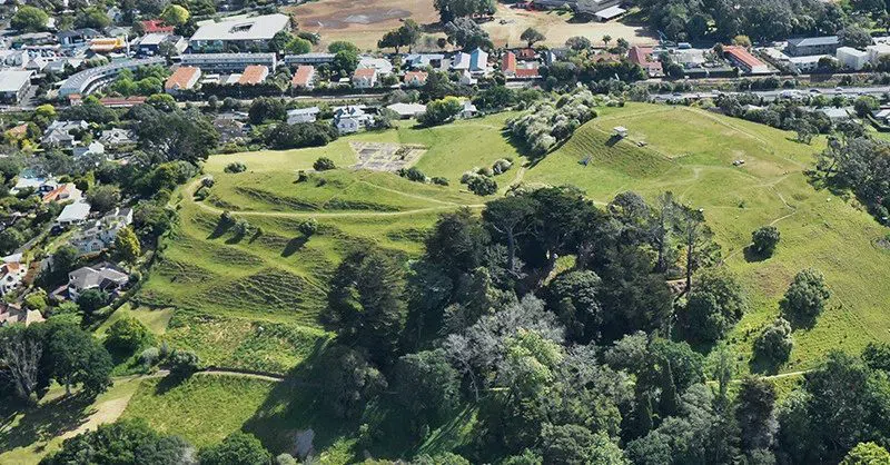
A short distance south, Maungakiekie / One Tree Hill (Cornwall Park, Epsom) is the one I would send a big group to first. It sits within vast open parkland, so numbers dissolve into the space rather than crowding a narrow track. This was one of the largest and most significant pā in the country, and the ancient terracing is still legible across the slopes; the summit carries the Campbell obelisk and the grave of the man who gifted the park. A new direct summit boardwalk connection opened in May 2026, and vehicle access to the top remains via Twin Oak Drive for less-mobile visitors — a rare thing in the field now. With an on-site café and the neighbouring Stardome observatory, this is the one cone that fills a full day rather than an hour, and it is free.
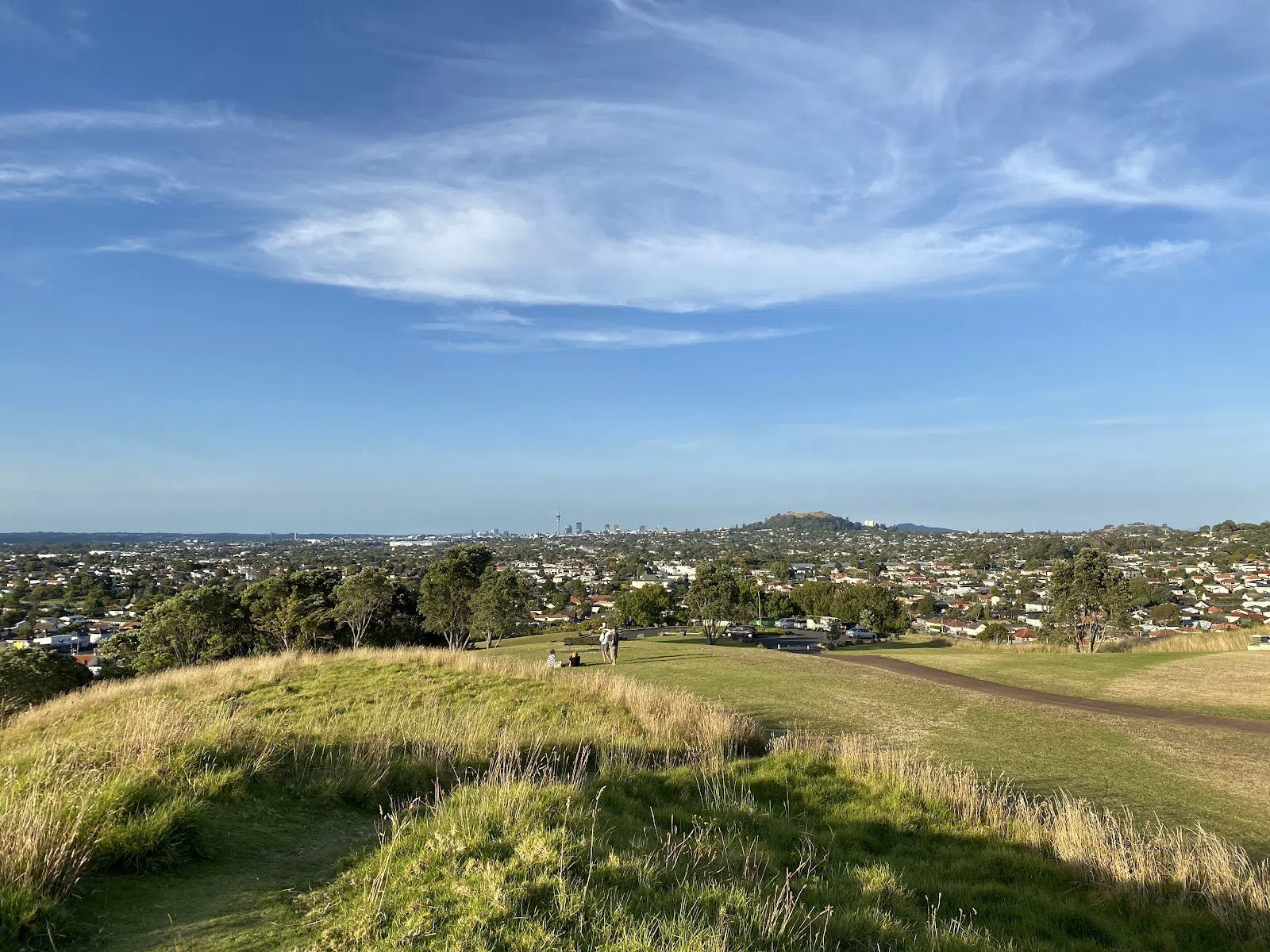
For a sharper, quieter climb, Ōhinerau / Mount Hobson (Remuera) rises steeply from Remuera Road behind gated opening hours. It is compact and steep, which makes it better suited to smaller, mobile groups than to a coach party — and since there is on-street parking only, arriving by public transport is the sensible choice. The reward is an outsized view for a short effort. If your aim is instead to understand the field as a field — to stand in one place and count the other cones — Puketāpapa / Pukewīwī / Mount Roskill (Mount Roskill) is the vantage to choose. Its roomy grassy summit suits a casual group, access is by gated hours, and from the top you can pick out four or five other maunga scattered across the isthmus, which does more to explain Auckland's geology than any single higher peak. It, too, is free.
The volcanic south: history, guides and ground level
South of the centre, the cones tell a harder and more human story, and this is where a group after cultural depth rather than another summit selfie should spend its time.
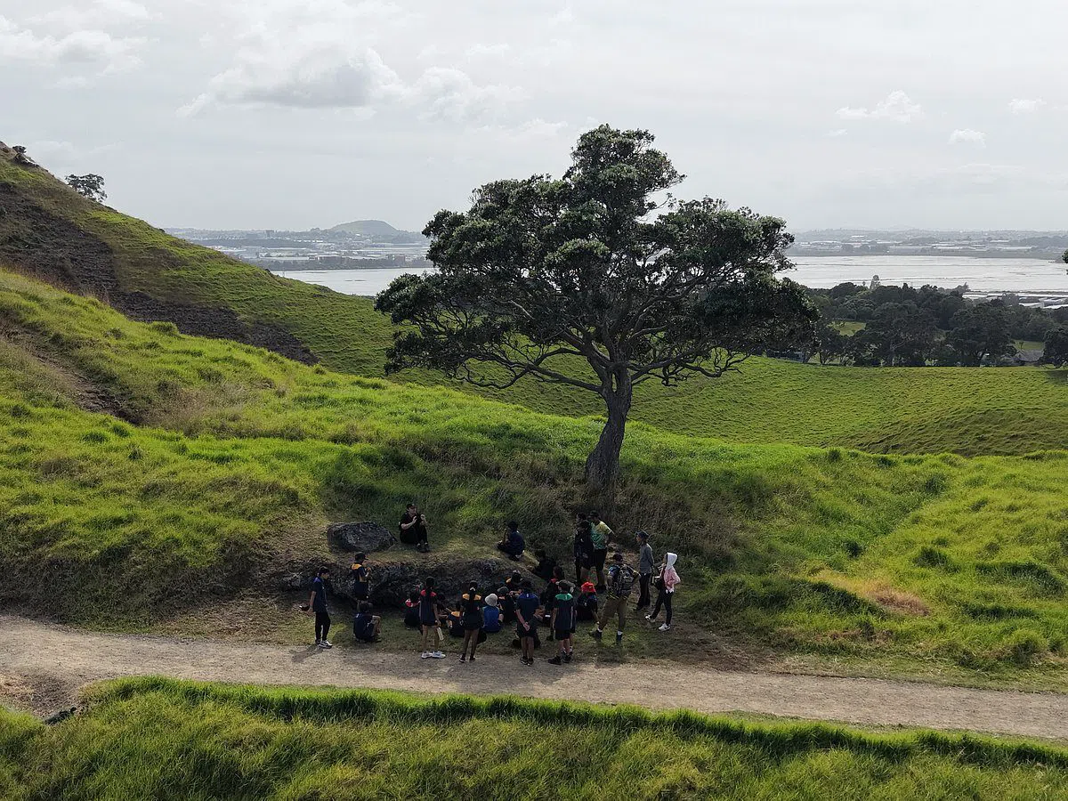
Māngere Mountain / Te Pane-o-Mataaoho (Māngere) is the standout for a guided visit. The Māngere Mountain Education Centre runs bookable guided walks led by mana whenua — the people whose ancestral connection to the maunga is unbroken — covering both the volcanic story and the Māori history written into what is the best-preserved cone in the field. Walking the mountain yourself is free; the guided hīkoi is paid and must be booked ahead, and it is worth building a day around. For schools and tour parties in particular, this is purpose-built and unhurried in a way a self-walk cannot match.
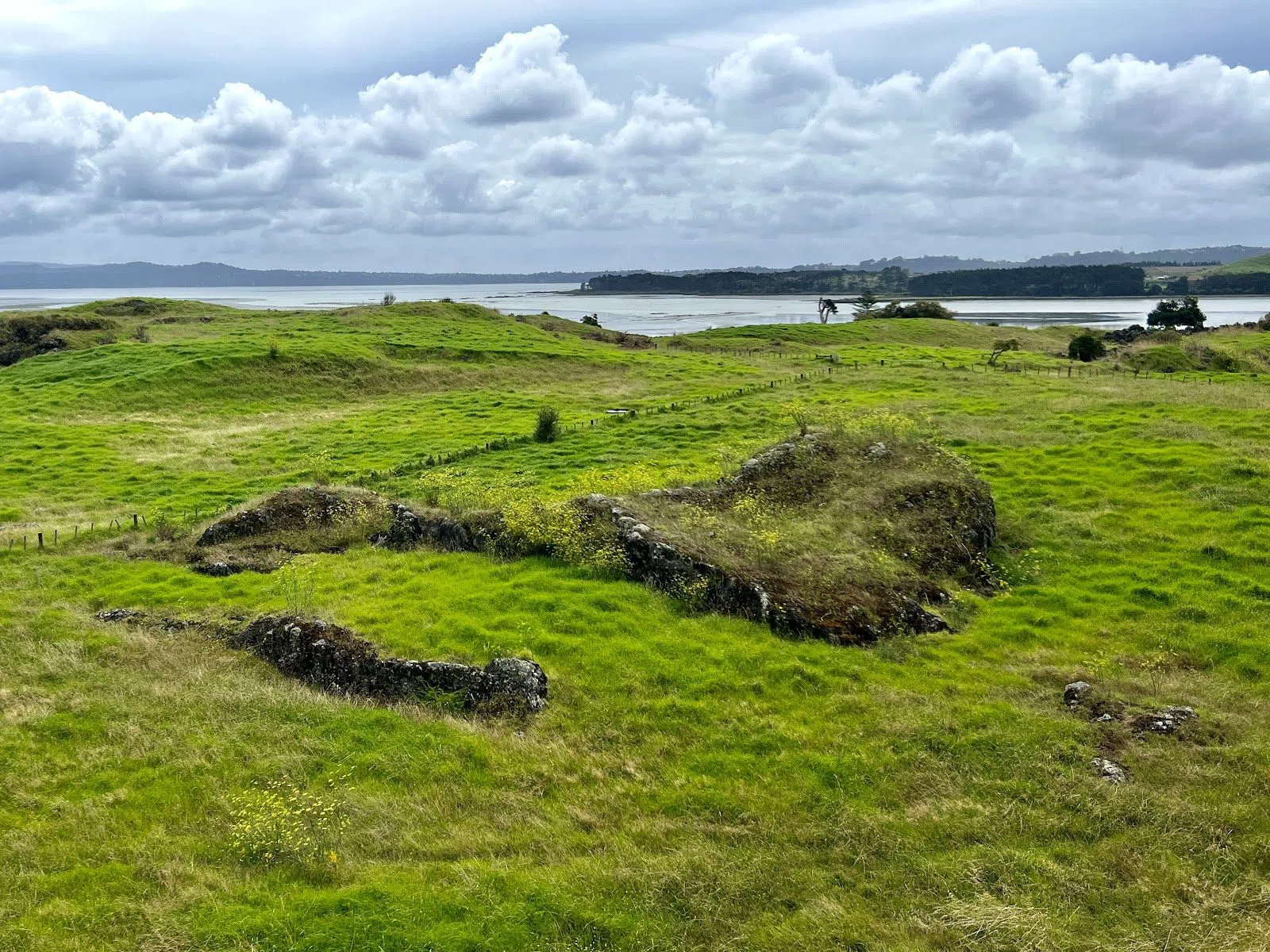
Nearby, Ōtuataua Stonefields Historic Reserve (Ihumātao) offers the field at ground level. This is the largest surviving pre-European lava-rock garden landscape in Auckland — a spacious, flat, easy walking loop across stone-walled Māori garden plots rather than a climb. It is exceptionally group- and family-friendly, and it reframes the cones you have been climbing: the volcanoes were not only viewpoints but the source of the fertile soil that fed a large population for centuries.
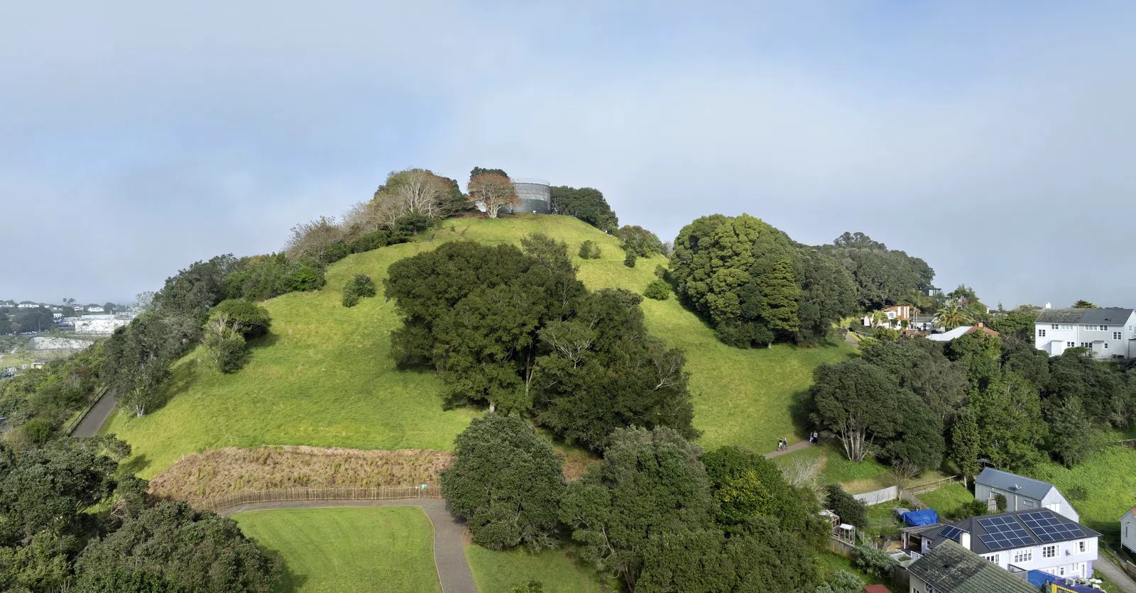
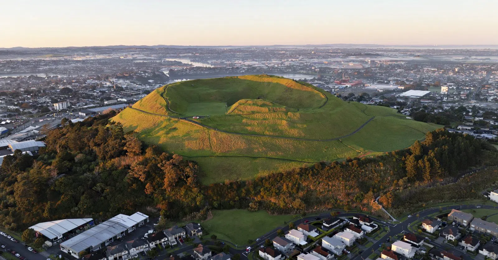
For something quirkier, Maungarei / Mount Wellington (Mount Wellington) is the largest scoria cone on the mainland and the youngest onshore volcano in the field. It has been vehicle-free since 2018, and the climb from the Mountain Road carpark is a brisk ten to fifteen minutes. Its oddity is a genuine one: there is a rugby pitch laid out on the crater floor, which makes for a photograph nobody at home will quite believe. And a little to the west, Te Tātua-a-Riukiuta / Big King (Three Kings) is a quiet, sobering stop — the lone survivor of the Three Kings, most of which were quarried away for aggregate. A short 1.7-kilometre path leads up a small open reserve, and a new toilet block was added at the Duke Street carpark in 2026. It is a living lesson in what the city did to its own cones before it learned to protect them, and it suits small groups well.
Across the water: Devonport and the gulf
Some of the best walking is a short ferry ride away, and a group trip across the harbour turns a summit into a half-day outing.
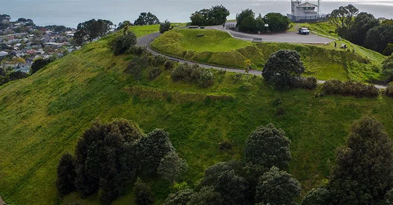
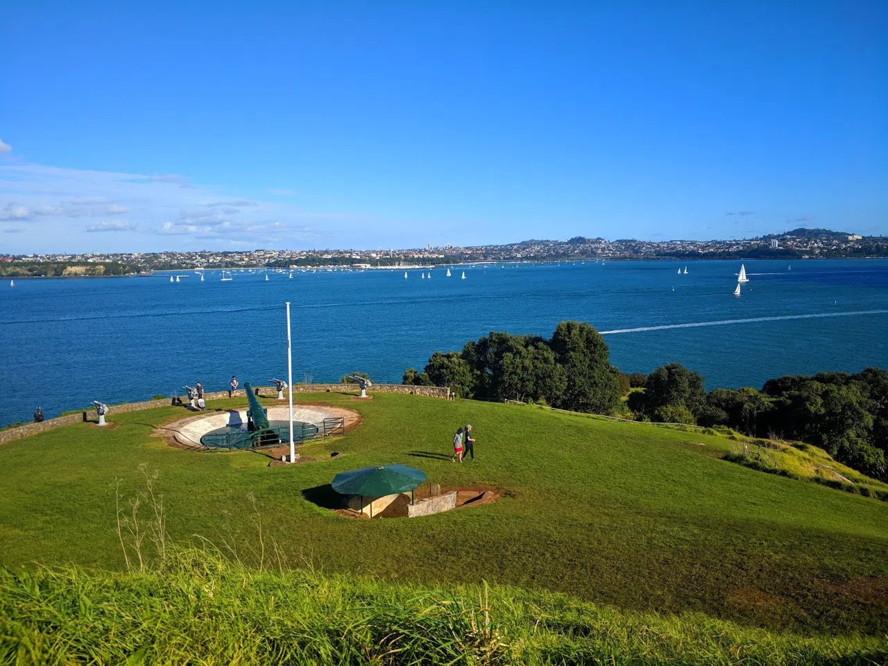
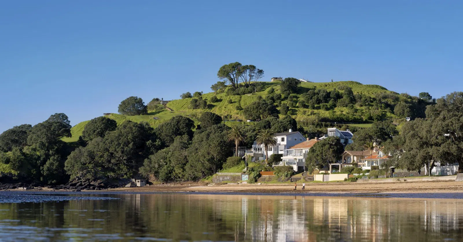
Start with the easy pairing at Devonport. Takarunga / Mount Victoria (Devonport) is a gentle ten-to-fifteen-minute walk from the village and only a twelve-minute ferry from downtown, which makes it the most effortless summit in this guide. Time it for early or late light — the view across the harbour to Rangitoto is the whole reason to be up there — and pair it naturally with its neighbour. That neighbour, Maungauika / North Head (Devonport), is the most engaging cone in the field for children and groups: a coastal headland honeycombed with old military tunnels you can explore self-guided. Bring torches, and note that some Northern and Southern Battery tunnel sections are closed for maintenance through 2026, so not every passage will be open. Both are free; the Devonport ferry is roughly NZD $23 return.
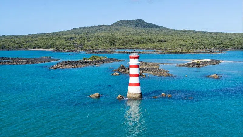
The field's most iconic climb is further out. Rangitoto Island rose from the sea only around 600 years ago, making it Auckland's youngest and most recognisable cone — the symmetrical silhouette on every harbour view. It is reached by the Fullers360 ferry from downtown Pier 1, a 25-minute sailing, at around NZD $42 return for an adult and $22 for a child, with landing fees included. This is a rewarding group destination, but it demands planning: summer sailings sell out, so book blocks of tickets well ahead. The summit track is about an hour each way, with lava caves to detour into along the path. There are no shops on the island, so carry all your own water and food — this is the one walk here where under-preparing has real consequences.
For deeper planning on neighbourhoods, transit passes and where the cones sit relative to the centre, the wider Auckland guide is the place to start.
Practical notes for the walk
Getting around is easiest with an AT HOP card, which covers Auckland's buses, trains and inner-harbour ferries at a lower fare than cash and lets a group tap through quickly; the Devonport and Rangitoto ferries both leave from the downtown waterfront, a short walk apart. Most of the central and southern cones are free and open, so the only real ticket costs are the two ferry crossings and, if you choose them, the museum and the guided walk at Māngere.
On money, Auckland is close to cashless — card and contactless are accepted almost everywhere, including on the ferries and at park cafés — but it is worth carrying a small amount of New Zealand dollars for the guided hīkoi booking, shuttle fares and the odd honesty box. Budget modestly: two people could walk four or five cones across a day for the price of a HOP top-up alone, while a fuller programme taking in Rangitoto, the museum and a guided walk still lands well under NZD $150 a head.
On timing, the summits are exposed and the weather turns quickly off the Tasman, so carry a layer and check the forecast the night before; gated cones such as Mount Roskill and Mount Hobson close at dusk, so plan sunset walks around Mount Victoria or Mount Eden instead. Summer, from December to March, is the season to book Rangitoto ferries early. And whichever cones you choose, treat each as the ancestral mountain it is rather than a viewpoint — stay on the paths, honour the tapu signage, and the green summits give back far more than a photograph. When it comes to a base, the compact central suburbs put most of these cones within a short walk or a single bus ride; an Auckland hotel search around the city centre or Devonport keeps the ferries and the isthmus cones both within easy reach.
Before you go
How many of Auckland's volcanoes can you actually climb in a day?
Comfortably four or five of the central cones — for example Mount Eden, One Tree Hill, Mount Roskill and Mount Hobson — since they sit close together within the isthmus and most take well under an hour each. Rangitoto Island is a half-day in itself because of the ferry and the hour-each-way summit track, so it is best kept for a separate day.
Do you need a car to visit Auckland's volcanic cones?
No. The central and Devonport cones are reachable by bus, train and ferry with an AT HOP card, and several summits — Mount Eden since 2016 and Mount Wellington since 2018 — have banned private vehicles anyway. A car helps only for the more spread-out southern cones like Māngere Mountain and Ōtuataua Stonefields.
Which Auckland volcano is best for a large walking group?
Maungakiekie / One Tree Hill in Cornwall Park is the most forgiving for big numbers thanks to its vast open parkland, café and Stardome, plus a new 2026 summit boardwalk and retained vehicle access for less-mobile visitors. For a guided cultural experience, book the mana-whenua-led hīkoi at Māngere Mountain.
How much does the Rangitoto Island ferry cost and do I need to book ahead?
The Fullers360 ferry from downtown Pier 1 is around NZD $42 return for an adult and $22 for a child, with landing fees included, and the crossing takes about 25 minutes. Summer sailings sell out, so book ahead — especially for groups — and carry your own water and food as there are no shops on the island.
Are Auckland's volcano craters open to walk into?
No. Most cones are ancestral Māori mountains and several craters, including Mount Eden's, are tapu (sacred) and closed to entry. Stay on the marked rim and summit paths and follow the signage; access to these summits depends on visitors respecting that.